Located just 70 miles northwest of downtown Denver, Rocky Mountain National Park (RMNP) is a large national park encompassing more than 300 miles of trails.
Nested outside of the town of Estes Park, the park rises from an elevation of about 7,500 feet to the high point of over 14,000 feet. It includes more than 70 mountain peaks over 12,000 feet and one 14er. There are several entrances to the park with the main entrance being the Beaver Meadows visitor center.
The options for activities in Rocky Mountain National Park are endless. One of the most popular activities is hiking. From hiking up to Longs Peak’s summit at 14,529 feet, or taking a short hike to view one of the many alpine lakes, there is plenty for all in RMNP.
One can hike in all seasons in Rocky Mountain National Park, although hikes can be very different when winter comes along. The majority of access is the same all year round in RMNP, except for the trail ridge road which is closed all winter and the beginning of spring. Nonetheless, there is plenty to check out all year round.
The summer gets very busy in the park. The National Park Service (NPS) operates a timely shuttle schedule in the summer. This schedule and map can be viewed here.
For summer hiking, be sure to be down from mountain summits in the early afternoon to avoid summer thunderstorms. It has been known to snow even in the middle of summer, so be prepared for all season conditions. For winter hiking, make sure you have the proper training and equipment to venture into the park. Be sure to check out our snow hiking article.
Being that RMNP is a National Park, there are specific rules for recreating in the park. Be sure to visit the official website for more information. There is a fee for vehicles to enter the park. Timed Entry Permit Reservations are required along with a park pass/entrance fee in order to enter between May 27 through October 10 in 2022 Before 5am, entrance is often free.
An economical way to visit Rocky Mountain National Park and other National Parks is to purchase an annual parks pass for just $80.
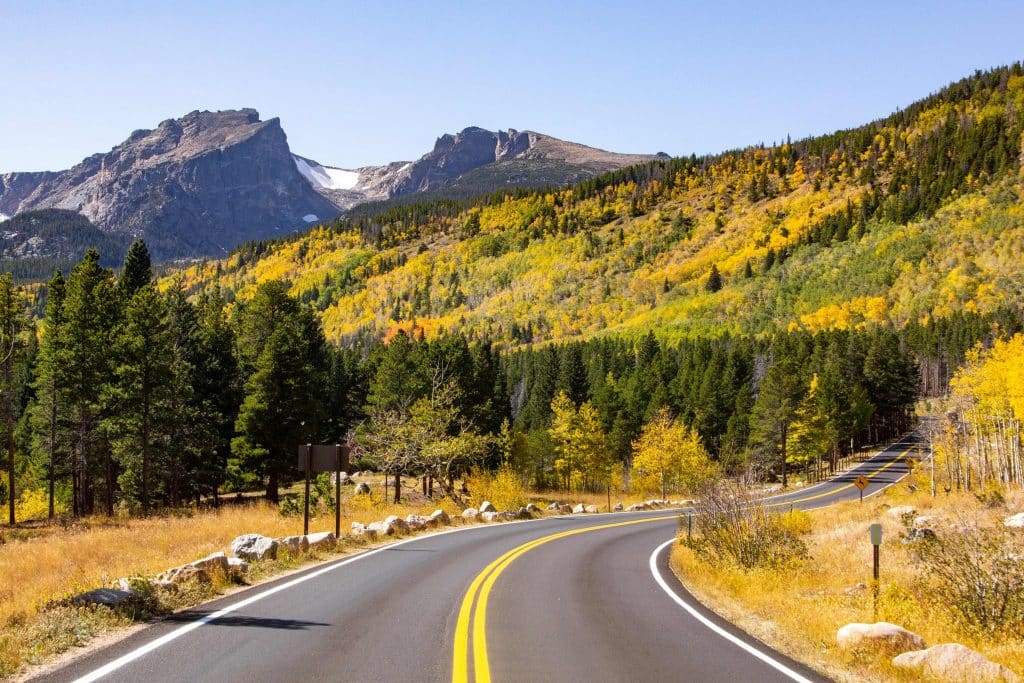
Hiking Areas + The Best Hikes
RMNP can be best divided into several different drainages. This is an easy way to understand the layout of the National Park. Some trailheads are much more popular than others and for good reason! For this article, I will identify many of the popular hiking areas and some of the best Rocky Mountain National Park hikes!
Wild Basin Trailhead
The southernmost entrance to RMNP is just outside of Allenspark, Colorado. It includes one main trail that is popular in the summer and fall months. The most popular sight here is Ouzel falls, a beautiful waterfall tucked in the woods. If you are looking for more solitude, consider starting at the Wild Basin trailhead and hiking past Ouzel falls, or by taking the Thunder lake trail from the Wild basin trailhead.
Ouzel Falls
Ouzel Falls is a 5-mile hike with less than 1,000 feet of elevation gain. It follows a wooden trail in the southernmost part of RMNP. The trail continues past Ouzel falls for several more miles into the backcountry. In the winter months, the trail provides a tranquil snowshoe that passes the frozen Hidden Falls. Ice climbers frequent this area in the winter.
Lion Lake Trail
If you are looking for a longer, more challenging hike from this trailhead consider the Lion lake trail. This is a 12-mile hike with more than 3,000 feet of elevation gain. The majority of the trail is largely protected in the woods but provides the opportunity to view wildflowers and multiple alpine lakes. Consider this for a more remote hiking experience in Rocky Mountain National Park.
Longs Peak Trailhead
Unlike other trailheads for Rocky Mountain National Park, the Longs peak trailhead is actually outside of the park. This means no park fees, and even with a government shutdown, this trailhead will be open. The Longs peak trailhead services trails leading to and around the 14,259 foot summit of Longs peak. This is the highest point in Rocky Mountain National Park.
This is the main trailhead for those looking to summit Longs peak and enjoy the view at Chasm Lake. Any hike here will be a moderate-difficult hike. It is a long way to get above the tree line and start enjoying the view.
Be mindful that this trailhead gets incredibly busy in the summer. Climbers and hikers alike will fill up the parking lot by sunrise. If looking to hike to the summit of Longs peak, expect a 2-5am start time.
The trail starts off with steep switchbacks in the “Goblin’s Forest.” As you get above tree-line after an hour plus of hiking, you will be greeted with a spectacular view of the front range on one side, and a stunning view of Longs Peak on the other side. Learn more about the benefits of steep hikes.
Here are some of the options are the Longs peak trailhead.
Chasm Lake
Chasm Lake is a 9.5-mile hike with over 2,500 feet of elevation gain. It provides spectacular views of Longs Peak and the Estes Park valley. This hike can be completed all year long, but requires the use of snowshoes and possibly crampons in the winter months. This trail can receive horrible weather all year round. Be sure to carry plenty of layers and protection against precipitation.
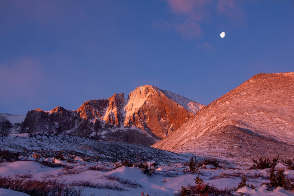
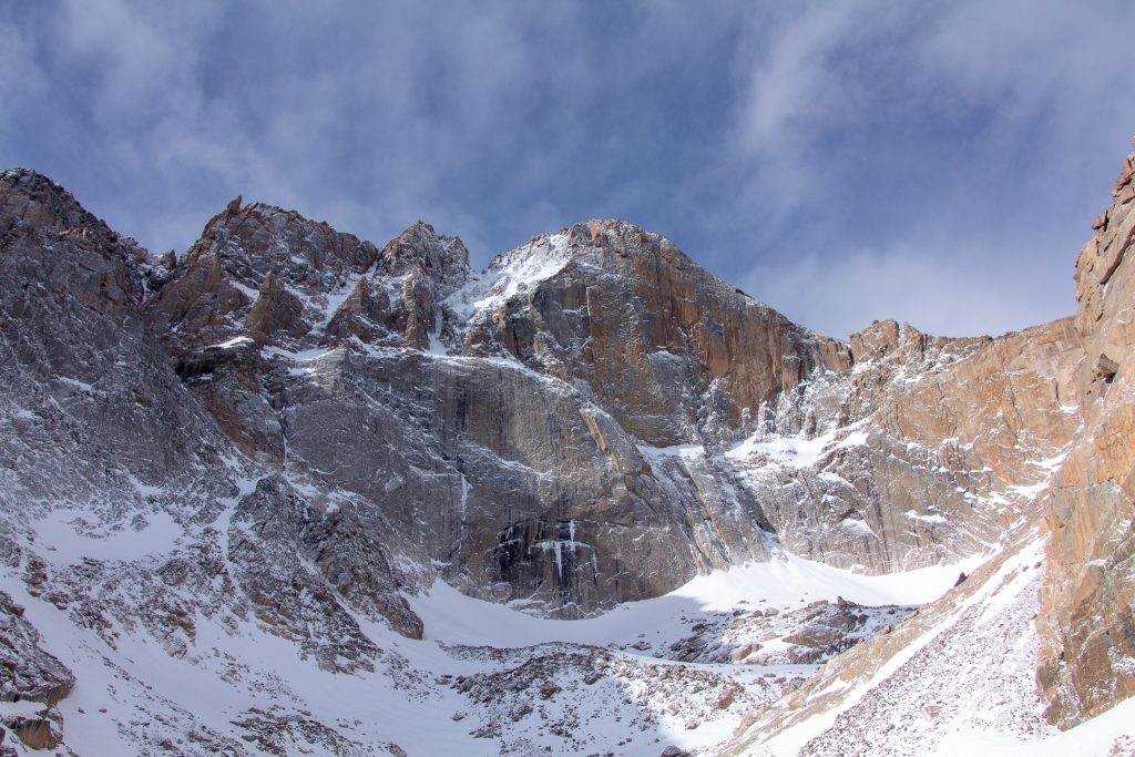
Longs Peak via the Keyhole route
Hiking to the summit of Longs peak is a serious undertaking and should be done only with the proper fitness, gear, and research. This is a 15-mile hike with more than 5,000 feet of elevation gain, which includes exposed 3rd class terrain. This hike is suitable for advanced hikers looking for a challenging day. The National Park Service has great information on the Keyhole route that can be viewed here.
Most hikers take about 12-18 hours to do this hike and commonly make the hike in July, August, and early September. Climbing a 14er is no easy feat, but it is an excellent challenge!
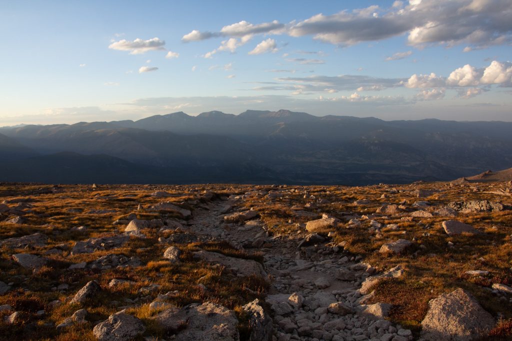
Beaver Meadows Visitor Entrance
The Beaver Meadows Visitor center entrance includes a majority of the hiking options for RMNP. Be sure to get here early, as there can be a line for the entrance on the weekends. As this a large hiking area, the next section will be broken up into multiple sub-areas from the Beaver-Meadows entrance.
Moraine Park
Moraine Park is the first hiking area one passes while driving towards the Bear lake/glacier gorge trailheads. While this includes more walking than hiking, it provides a great view of Longs Peak to one direction, and a view of the Mummy Range in the other direction. The Moraine Park Loop goes along the Big Thompson River. This is a great place to watch elk in the fall.
Fern Lake Trail
For a longer hike out Moraine park, consider the Fern Lake trail. This trail heads into the Odessa gorge and leaves one starring at the impressive face of Notchtop mountain. This hike will be much less crowded than hikes out of the Bear Lake parking lot.
Glacier Gorge trailhead
Glacier gorge trailhead provides many different options for hiking in Rocky Mountain National Park. This trailhead provides for an array of different difficulties of hiking. The easiest way to break up the hiking at this trailhead is to take a look at the different major trails from the Glacier Gorge parking lot.
The glacier gorge trail starts out in a field of aspen trees with moderate elevation gain. The first stop on the trail is Alberta Falls.
Alberta Falls
This is a short hike 1.6-mile hike that goes through aspen trees and ends at a waterfall. This is the first stop of many on the main glacier gorge trail.
Looking for more of an adventure? Continue on up to Loch Vale gorge, and consider hiking up all the way to the Lake of Glass and Sky Pond!
Sky Pond
Sky pond is a hard, 8-mile hike that begins from the Glacier gorge parking lot. Along the way you will pass Alberta falls, Loch vale gorge, the Lake of Glass, and finally Sky pond. To hike to Sky Pond and back would make for a great, full day hiking outing. Along the route you will pass several alpine lakes, a waterfall, and have an impressive view of the Taylor Glacier. This is definitely one of the best day hikes in Rocky Mountain National Park. Spectacular scenery and views for the entire hike.
For a shorter hike, consider just hiking to the Loch. This is a moderate half-day hike that has about 1,000 foot vertical gain.
Loch Lake Trail
To the Loch is about 3 miles one way, and continuing to Sky Pond adds another mile and substantial elevation gain. Hiking to the loch is a very moderate hike that would make for a great half day outing in the park.
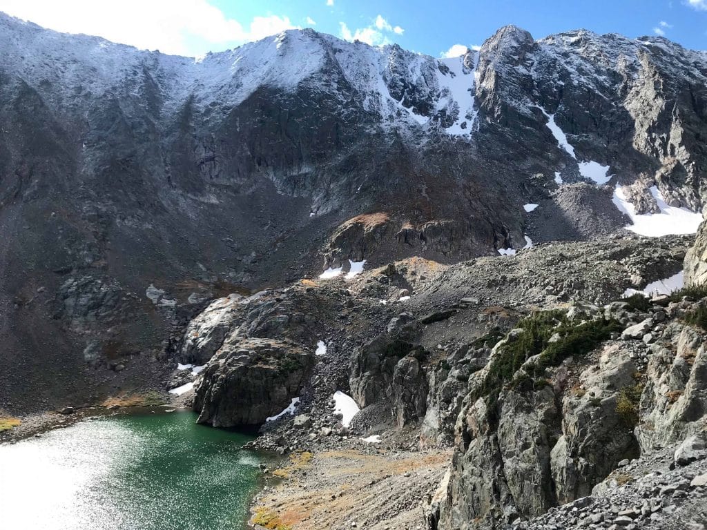
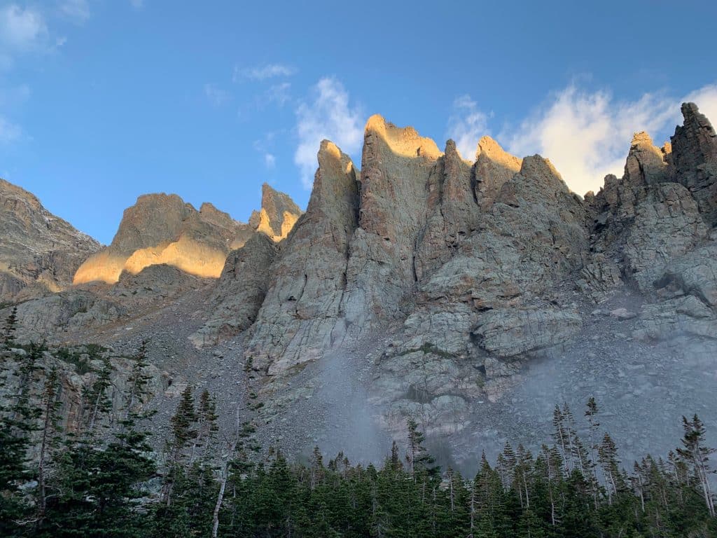
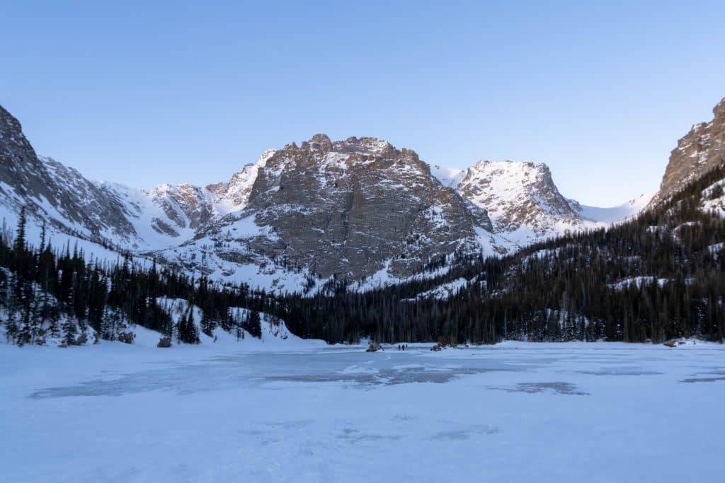
Along the main trail from the glacier gorge parking lot, there are several other turn offs that provide for other beautiful alpine lakes and impressive mountain views.
Taking a left at the Loch/Mill’s lake junction takes one towards Mill’s Lake and Black Lake.
Black Lake
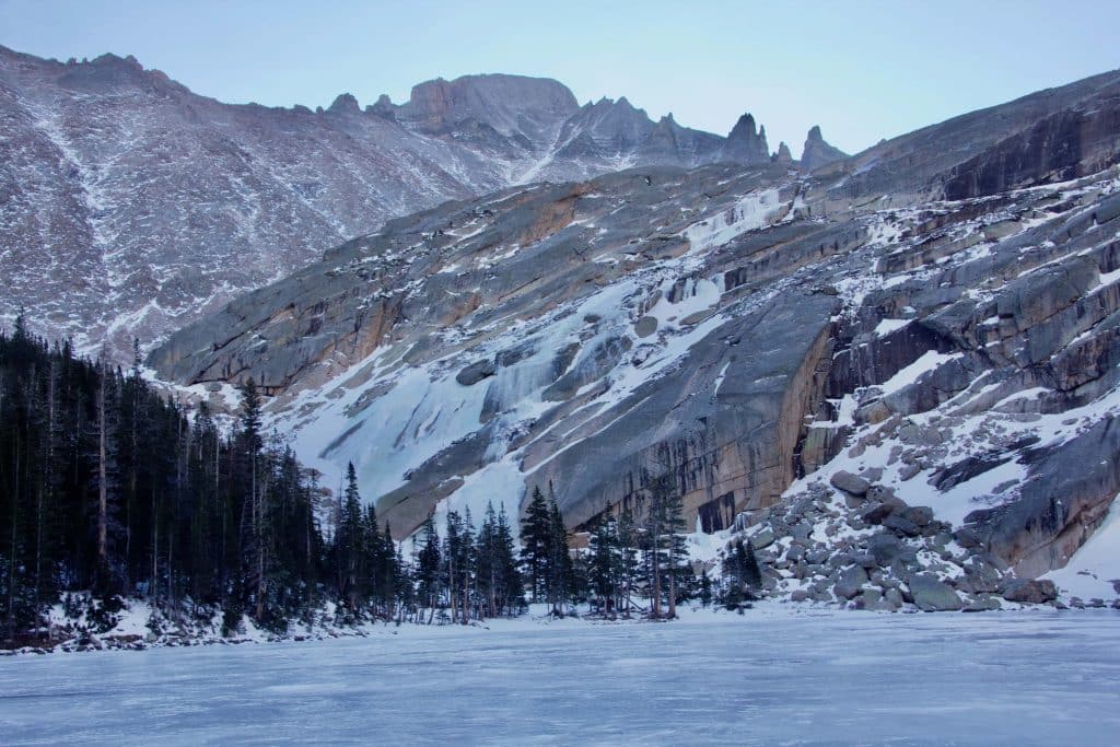
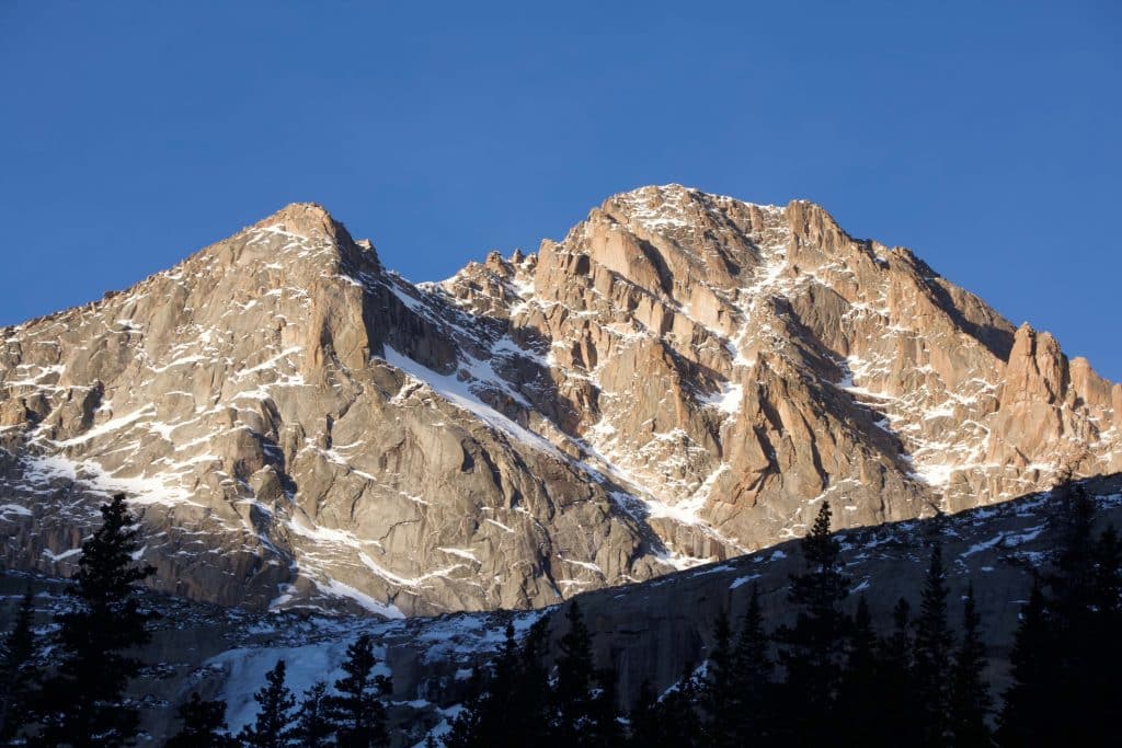
The hike to Black Lake is a challenging 11-mile hike. This hike includes more elevation gain than the hike to Sky Pond. Mill’s lake is a little more than halfway to Black Lake from the trailhead and is also a great place to end your hike. From Mill’s lake you will be below Thatchtop mountain and might get a glimpse of the backside of Longs peak. Making the long hike to Black lake provides a stunning view of the trough of Longs peak and the picturesque Mc Henry’s peak.
Bear Lake Trailhead
Bear Lake trailhead is one of the most popular trailheads in Rocky Mountain National Park. This parking lot will fill early all year round. The park service runs a quick shuttle service from a an overflow parking lot which services Bierstadt lake, glacier gorge, and bear lake trailheads.
Bear Lake trailhead is popular for a reason. Just 0.7 miles from the trailhead with minimal elevation gain is Bear lake.
Emerald Lake
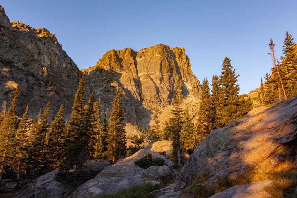
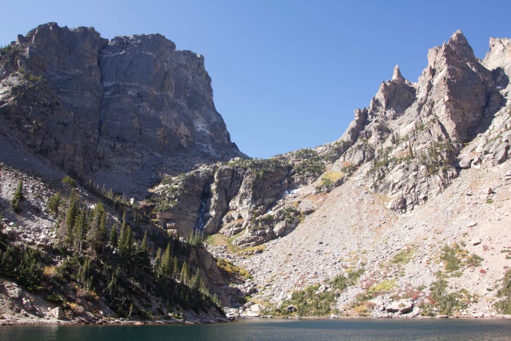
Potentially one of the busiest trails at RMNP is the Emerald Lake trail. This is one of the most popular hikes in Rocky Mountain National Park. Ascending only 700 feet over 3 miles, this is a great introduction to moderate hiking in the park. Emerald lake lays below Hallett peak, Tyndall glacier, and Flattop mountain. This trail passes Bear Lake, Nymph Lake, and Dream Lake before making it to Emerald Lake. If you want to add another, less trafficked lake, visit Lake Haiyaha on the way.
Flattop Mountain Hike
For a more challenging hike from the Bear Lake trailhead, consider getting above Emerald lake trail and hiking up Flattop mountain. This trail ascends steep switchbacks and will give a sweeping view of the Tyndall glacier and Emerald lake.
Fall River Visitor Center
The Fall River Visitor Center is at the northernmost entrance to the park. Here are some of the multi-day backcountry hikes in the Mummy range. There is also the opportunity for multi-day hikes from this visitor center.
Lawn Lake Trail
The Lawn Lake trail is the main trail out of the Fall River visitor center. This trail is a difficult trail that ascends into the Mummy range.
Ypsilon Lake Trail
Another popular trail near the Fall River Visitor Center. This trail ascends more than 3,000 feet before passing a number of alpine lakes and arriving at Ypsilon, just under Mount Ypilson.
Alpine Visitor Center
The Alpine Visitor center at 11, 796 feet is the highest visitor center in any U.S. National Park. It lies at nearly the highest point of the trail ridge road. Trail Ridge Road is only open in the summer months. From here there is beautiful alpine tundra and the ability to see the Gore Range and the Never Summer Range. From the visitor center, there are opportunities for high tundra hiking.
Alpine Ridge Trail
While more of a walk, this stunning overlook provides expansive views from nearly 12,000 feet. Don’t underestimate the altitude up here!
Ute Trail
The Ute trail starts on Trail Rodge Road a few miles south of the Alpine visitor center. This hike stays high on a ridge-line and is prone to be extremely windy. This 6-mile hike is best done with a vehicle starting on trail ridge road, and one below at upper Beaver meadows. Starting at Beaver meadows would result in over a 3,000 foot vertical gain.
Mount Ida
If you are looking to be up high and like exposure, this is the hike for you. The hike up Mount Ida crosses the continental divide trail. This is a very exposed hike, be sure to bring extra layers for this one.
Grand Lake
Grand lake is on the western side of the park. This would either mean driving all the way around via Winter Park or through Trail Ridge Road. If you don’t like crowds, you might want to consider spending your time on this side of the park. The far distance from the front range makes it less appealing for most people than the Estes Park entrance.
Adam Falls Trail
This easy hike is a great introduction to hiking on the Grand Lake side of the park. It features minimal elevation gain and a waterfall.
East Inlet Trail
The East Inlet trail is one of the main trails out of the Grand Lake side of the park. The 10-mile out-and-back trail has moderate elevation gain.
Where ever you decide to hike in RMNP, there are plenty of options for you!
This concludes our guide to the best hikes in Rocky Mountain National Park.
For more on hiking in Colorado, check out these guides: Colorado Trail Gear List, Hiking Colorado’s 14ers, Best Hikes in the San Juan Mountains, Best Hikes in Colorado, Best Hikes In Boulder Colorado, Indian Peaks Wilderness, and Best Winter Hikes in Colorado.
For more hikes, check out this highly recommended book: Hiking Rocky Mountain National Park