
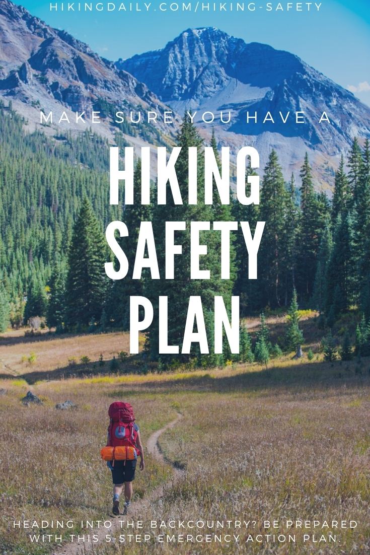
Hiking in the wilderness can be dangerous. Weather, fatigue, getting lost, and overall being unprepared can lead to very stressful and serious moments on the trail. The best way to mitigate any sort of dangerous scenario is to have a plan and be prepared. A hiking safety plan begins with being prepared on the front end.
While one cannot mitigate all hazards while hiking, there are some we can be more prepared for. This article will talk about some of the best ways to be prepared while hiking and will lay out an appropriate emergency plan in case something goes wrong. Read on for the best hiking safety tips.
To begin, let’s talk about the difference between objective and subjective hazards. Understanding the different types of dangers are critical to be prepared, and understanding how to respond to them.
Understanding the hazards of hiking in the backcountry
It is important to understand what types of potential hazards that you could encounter while hiking. There are two primary types to consider before you head out on the trails.
Objective hazard
An objective hazard is something that can happen to anyone while hiking.
These are hazards that cannot be controlled. In hiking, this would mainly be the weather. While you cannot control the weather, you can be prepared for it.
Subjective hazard
This is human-caused. These hazards are human-controlled, and they can be avoided with the correct knowledge, experience, and preparation.
Subjective hazards while hiking can include getting lost, becoming dehydrated, and getting overexerted are a few examples. Of course, even subjective dangers cannot be completely controlled, but they can be minimized.
It is very important to be aware of your hiking abilities, and the folks you are hiking with. Bring a first aid kit, and know how to use it. Consider taking a wilderness first aid or wilderness first responder course.
Let’s start with a few ways you can be prepared to respond to objective hazards and be able to minimize subjective hazards.
1. Always check the weather forecast before you hike
Hiking safety starts with understanding probable weather. This seems simple, yet people often forget. Always remember to check the weather from multiple sources the night before or the day of your hike.
Weather forecasts are rarely ever 100% accurate, so always be packed for different weather conditions. It never hurts to throw in a raincoat and an extra fleece into your pack.
In terms of checking the weather, here are some of the best forecasting sites for mountain weather. Be sure to check more than one resource to gather an accurate consensus of what the weather may be. Understand that there is always a chance for precipitation!
Weather.gov
The U.S. government’s National Weather Service is a great place to start for a forecast. Enter your location in the top left corner and you will get the forecast for the next few days. Do note that the most reliable time frame for a forecast is within 3 days. Once you pull up the forecast for your location, check out the hourly forecast in the lower right-hand corner. Be sure to check wind speed, precipitation, and temperature graphs.
Meteoblue
Meteoblue is a product out of Switzerland that uses the same weather models used for Weather.gov, but also takes into account, other European models. This is a favorite forecasting site for mountain weather. The really great part about this site is that you are able to see the forecast probability percentage for each day. If you click on the multi-model tab you are able to see what some of the other forecast models have predicted. The more consensus among models, the higher the probability of a forecast.
Mountain Forecast
This is a great site to use while heading up into the alpine. It has forecasts for many different named mountains across the country. The wind forecast on this site is quite accurate, and the elevation point forecasts are great to look at as well.
2. Check current trail conditions
Do your due diligence by checking on trail conditions. This could be by calling a ranger station, or by checking recent trip reports on All Trails. Depending on where you are hiking in the country, trail conditions can vary all year long. Some areas of the country have Facebook groups and forums where folks share their hiking trip reports.
Sites like AllTrails, HikingProject, the Outbound, and 14ers have great hiking resources as well as recent trip reports.
You can often check the location of the hiking trail on Instagram as well. By tapping on “recent” posts, you can see recent posts from your trail destination. The more informed you are about the current trail conditions, the more prepared you can be. Another key step to hiking safety.
3. Organize your maps and navigation for smartphones
This is one of the most important parts of preparing for a hike. As was mentioned above, one should do everything in their power to prevent subjective hazards and reduce the impact of an objective hazard. Getting lost is definitely a potential objective hazard of going hiking. Knowing where you are and where you are going is key to hiking safety. Paper maps are always useful to have, but nothing is easier than to follow the blue dot of a phone’s GPS on an offline downloaded map.
If you plan to rely on a smartphone for your GPS, make sure to bring a portable charger with you. The main downside of using a smartphone as a GPS is that the battery life is much shorter than that of a traditional GPS.
The GPS capability of today’s smartphones has made it easy to have assistance while hiking. While some hiking areas may have data service and make it easy to rely on offline maps- one should never depend on this. Offline maps are a must for any kind of hiking.
As a start, it is always a good idea to download the offline version of Google Maps in the area you will be hiking in. This way you won’t get lost driving to the trailhead, and you’ll have a good idea of where you are on the trail in relation to your vehicle. To download Google Maps offline on a smartphone, simply search for the area you will be hiking in and tap more at the bottom. It will then give you an option to download maps of that area. While Google Maps are not as detailed as a topographic map, this is a great tool to have to familiarize yourself with the area you are hiking in.
There are also many other ways to get offline topographic maps. Some are free, and some come at a price. However, the cost of a yearly subscription for offline maps on an app is quite cheaper than actually buying a GPS device.
While there are many different options for offline topographic maps, here are some of the most popular.
AllTrails Pro
$30 a year. All Trails Pro gives you access to offline maps that you can follow on the GPS. It also gives you access to be able to print the map as well. It is a great idea to always have a printed copy as well. Phone batteries could die, but paper maps will always be there. As long as they stay dry in your pack! AllTrails Pro also has another fantastic service that will be described in the following section.
Gaia GPS services
$20 a year. This is another popular map service that allows for navigation with offline maps. Gaia offers road, topo, and satellite maps.
Both Gaia and All Trails Pro are fantastic options for offline topographic maps. The map format is slightly different, and everyone has a preference for their favorite type of map. Take a look at both of the free versions before you decide which mapping format you like best!
CalTopo Online + Avenza App
For a free option, use this combination of CalTopo online, and the Avenza smartphone app. First, find your trail area online on CalTopo.com. Be sure to explore the different map layers on Caltopo. The other map services do not offer these different layers.
The most important part of the process of using Caltopo is finding the initial trail area. Once you find the area you will be hiking in, click “print to pdf” on the upper left of your screen. This will then prompt you to a screen that has a red highlighted area of the map, this is the area you will be exporting to a pdf. Make sure to drag the box so it covers your hiking trail, as well as the surrounding areas. Once you find your selected area, click generate PDF in the lower lefthand corner. This will now give you a PDF version of your hiking area. Be sure to print out a copy as well.
Now for the instructions on the smartphone, start by downloading the Avenza app. Open the Avenza app and click on the plus at the top of the app. Once you click on the plus, it will prompt you to an import map page. In the top right of the screen, there is a QR scanner. Take the QR scanner and scan the QR at the bottom of your CalTopo PDF. Boom! You now have a free offline map for use on a smartphone.
4. Take GPS and satellite communication devices
In addition to offline maps for smartphones, one can also purchase a GPS.
The majority of GPS devices these days connect to a smartphone for easier use. Garmin is the leader in the industry for GPS devices. There are many different GPS devices on the market, but only a few allow for communication capabilities as well. Communication capabilities in this context mean the ability to text Search and Rescue or Emergency contacts without cell service. Satellite phones are still the only devices available that allow for long-distance talk without cell service.
One of the largest barriers to being stuck in an emergency in the backcountry is not being able to communicate with those in the front country. Often times is it better to communicate with loved ones first before contacting Search and Rescue services.
The top two GPS + messaging devices on the market are the Spot X 2-Way Satellite Messenger and the Garmin inReach mini 2 Way Satellite Communicator.
Learn more about the Garmin inReach mini.
Not only do these devices allow one to message emergency contacts on a cellphone, but they also allow one to message emergency services. This can be critical in providing the right kind of Search and Rescue Response if needed. With this capability, you could also message emergency contacts to let them know you are running late and not to worry.
Having this ability to send text messages without service means you always have communication abilities if you need them.
The main difference between the Spot and the Garmin inReach is that the Garmin Inreach has GPS capabilities that can be viewed on a paired smartphone via Bluetooth. While this is essentially the same as an offline map for smartphones, the GPS location can be more accurate.
If you are someone who consistently hikes in the backcountry, a satellite messenger device is a must-have tool. The stress of being in the backcountry with no communication is alleviated once one has a satellite messenger. These devices are known to save people’s lives while hiking, and the messaging capability allows for a more appropriate response to a backcountry emergency situation.
5. Create and share your plan before you go
One of the most important things to do before going on a hike is to let someone else know about your plans. Let them know what you are wearing, the type of vehicle you drive, and the exact hiking plans. Let them know when they should expect to hear from you. It is also a good idea to do some research on the local search and rescue services and let your emergency contact know about them. If you have a satellite messenger, it will be easy to communicate with your contacts or with search and rescue services in case of an emergency.
Another fantastic tool to consider is the Lifeline tool from AllTrailsPro. This allows a hiker to share their route plans with another contact, and with data service, it can update others on the hikers’ progress. This is a great tool to have that allows an emergency contact to have very specific information on the hikers’ location in case of an emergency.
Lastly, the best thing a hiker can do to respond appropriately to hazards is to be educated and prepared. Understand what the hike entails, and understand what your personal limits are. Always hike with a buddy, have a first aid kit, extra food and water, extra layers, and a satellite messenger device. Always check the weather and trail conditions.
As long as you follow those simple steps, many different hazards can be minimized and mitigated!